废话不多说,我就直接上代码让大家看看吧!
#!/usr/bin/env python
# -*- coding: utf-8 -*-
# @File : copyShapefile.py
# @Author: huifer
# @Date : 2018-4-28
from os.path import exists

import gdal

from osgeo import ogr
from os import remove

gdal.SetConfigOption("GDAL_FILENAME_IS_UTF8","YES") # 路径中文
gdal.SetConfigOption("SHAPE_ENCODING","GBK") # 属性中文
in_shapefile = "dataSample/wang_point.shp"# 数据模板
out_shapefile = "shapefileAa.shp" # 输出数据集
in_ds = ogr.Open(in_shapefile) # 读取模板数据
in_lyr = in_ds.GetLayerByIndex(0)
if exists(out_shapefile):
  remove(out_shapefile)
drv = ogr.GetDriverByName("ESRI Shapefile") # 指定数据驱动
out_ds = drv.CreateDataSource(out_shapefile) # 创建数据源
proj = in_lyr.GetSpatialRef() # 获取模板坐标系
out_lyr = out_ds.CreateLayer(out_shapefile.split(".")[0],proj,ogr.wkbPoint)
# copy the schema of the original shapefile to the destination shapefile
lyr_def = in_lyr.GetLayerDefn()
for i in range(lyr_def.GetFieldCount()): # 获取字段长度
  out_lyr.CreateField(lyr_def.GetFieldDefn(i)) # 创建字段
  feature = ogr.Feature(lyr_def)
  wkt = "POINT(88615.730000 75345.486000)"
  point = ogr.CreateGeometryFromWkt(wkt)
  feature.SetGeometry(point)
  # 添加点
  out_lyr.CreateFeature(feature)
  # 关闭 特征
  feature = None
  # 关闭数据
data_source = None
以上这篇Python 根据数据模板创建shapefile的实现就是小编分享给大家的全部内容了,希望能给大家一个参考,也希望大家多多支持我们。
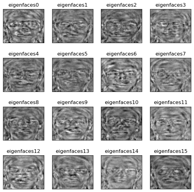 前言 本文使用Python实现了PCA算法,并使用ORL人脸数据集进行...
 前言 使用opencv对图像进行操作,要求:(1)定位银行票据的...
 天气预报API 功能 从中国天气网抓取数据返回1-7天的天气数据...